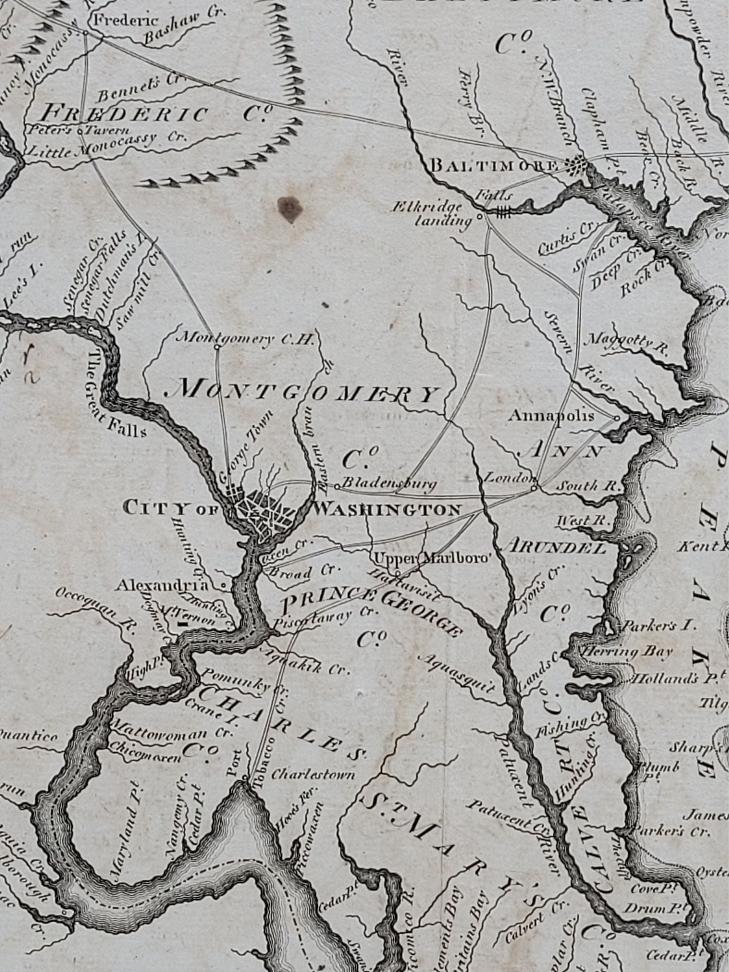
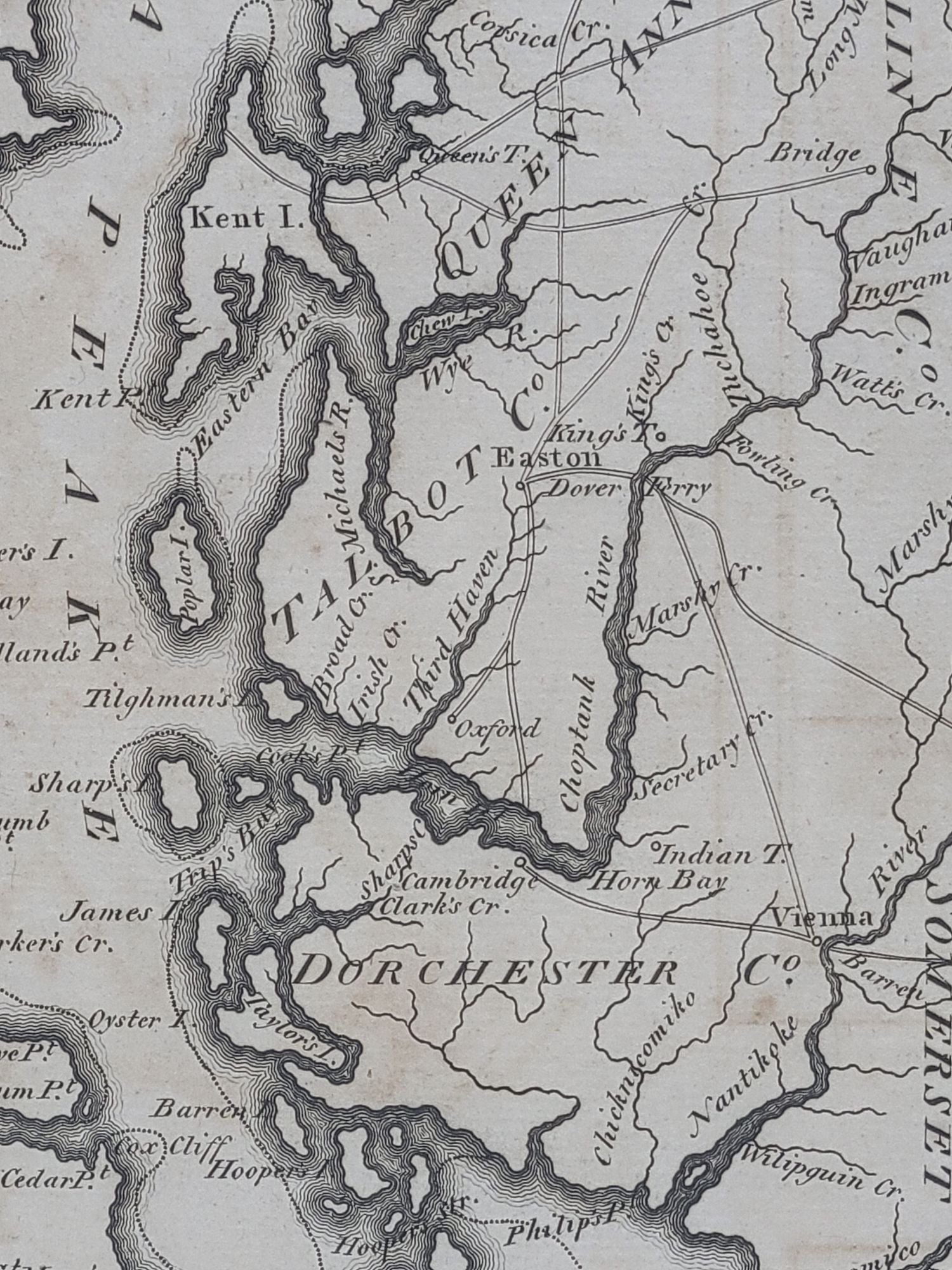
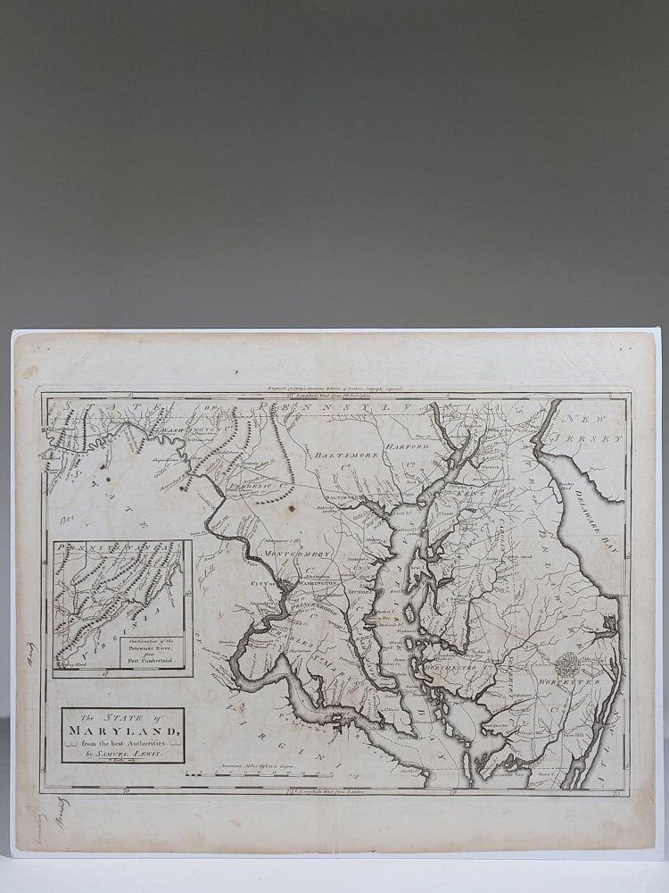
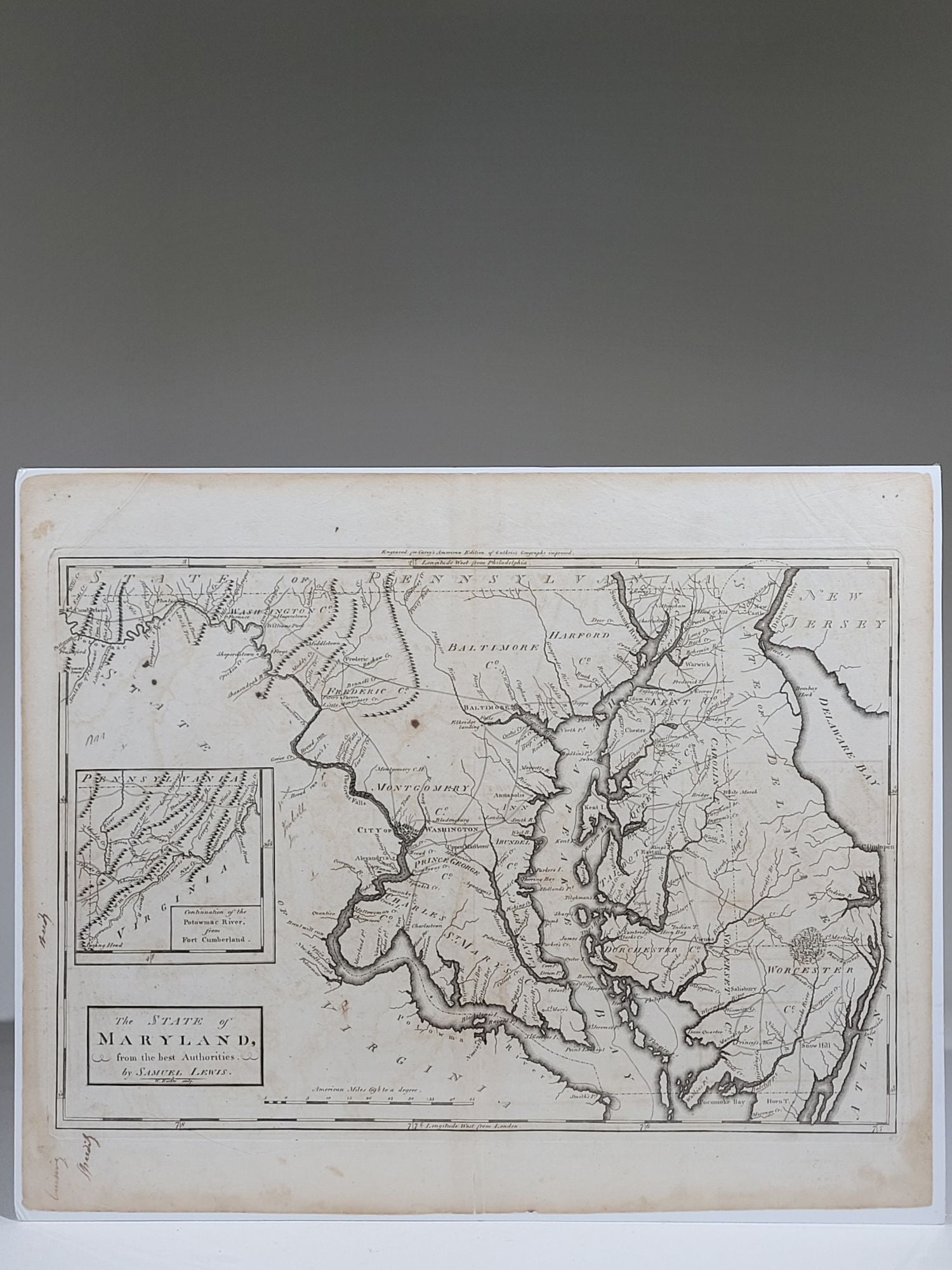
The State of Maryland, from the best Authorities
[Philadelphia]: Mathew Carey, 1795. Copperplate engraved map. Single sheet. 17 5/8" x 14 3/8"
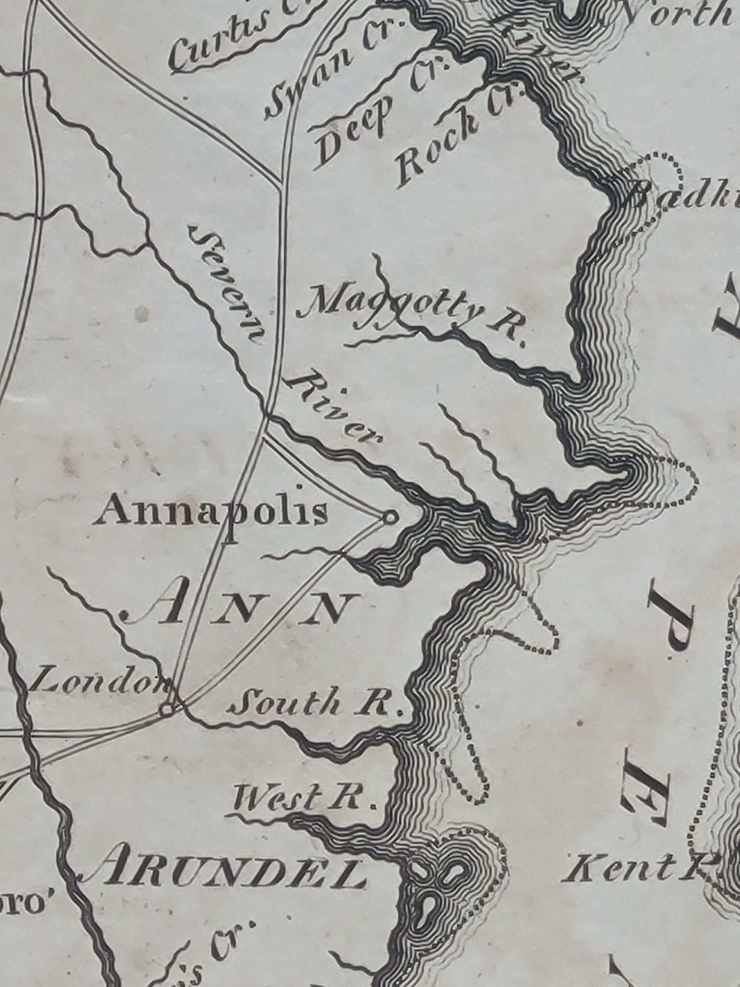
The first general map of Maryland printed in the United States. Lewis's map includes some topographical features as well as locating towns and giving the names of counties. This is one of the earliest maps to show the location of Washington, DC. This is also the first of many maps to deal with Maryland's irregular shape by showing Western Maryland as an inset so that the bulk of the state can be shown at a larger scale.
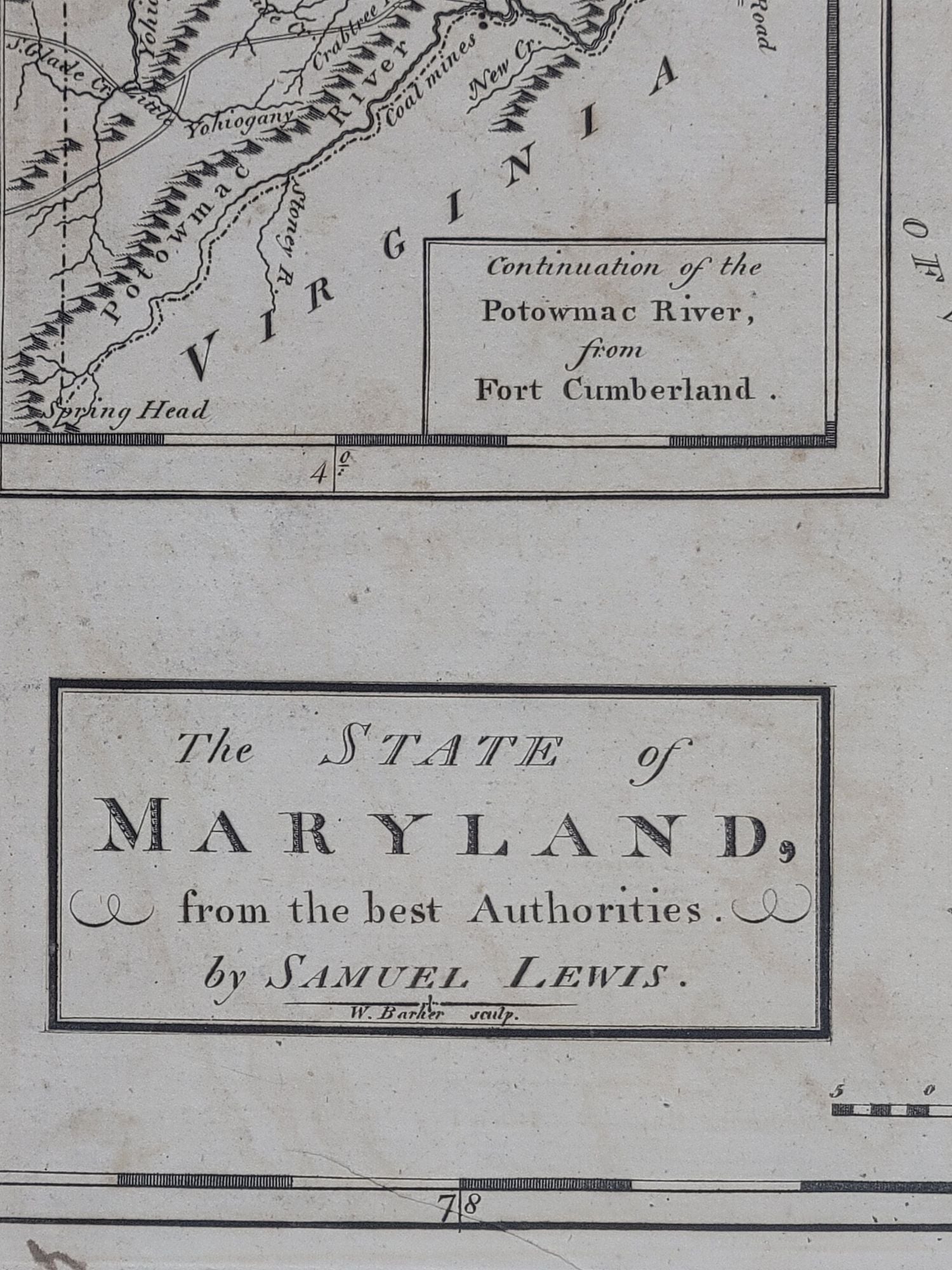
The inset is titled "Continuation of the Potowmac River from Fort Cumberland," and shows Western Maryland at the same scale. Map scale is in "American Miles." Engraved by William Barker, who did other maps for Mathew Carey.
The southern border of Maryland with Virginia is inaccurate, given as a straight line due east from Smith's Point bisecting Watkin's Point. Lewis is considered the first cartographer of the State of Maryland, and his map was very popular and copied several times without attribution.
This is the second state from 1795, with "Engraved for Carey's American Edition of Guthrie's Geography improved" centered just above the top neatline.
A wondeful and crisply printed example of this important Maryland map. Printed area measures approximately 16 1/4" x 11 1/8"
Near fine. Some minor toning around edges, a few minor stains, a few contemporaneous ink notations.
Item #916
Sold