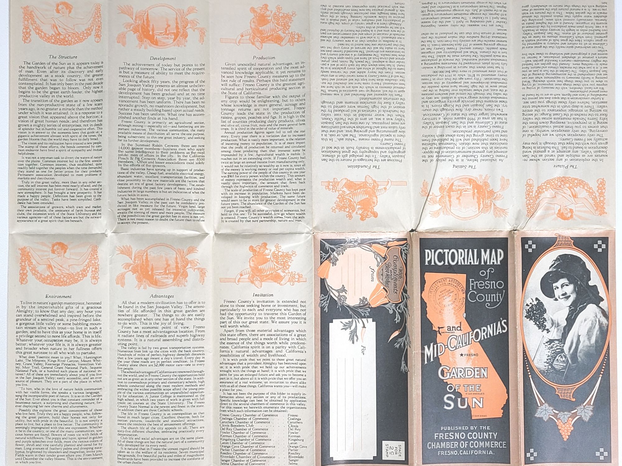
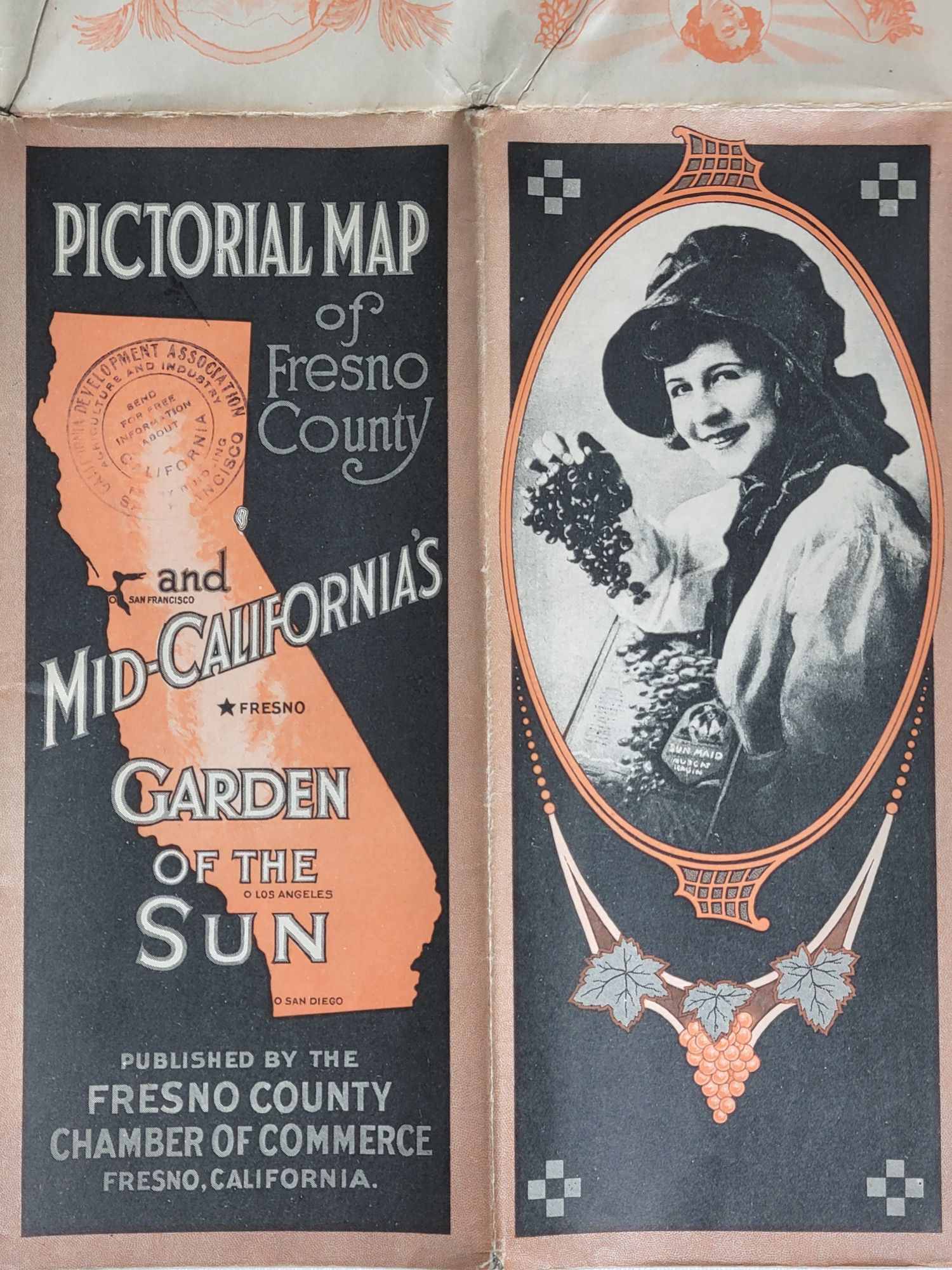
Pictorial Map of Fresno County and Mid-California's Garden of the Sun
Fresno: Fresno County Chamber of Commerce, [c.1923]. Color map, black and white photographic border vignettes. Single sheet approximately 25 1/8" x 38 1/8", folds to 4 1/4" x 9 1/2"
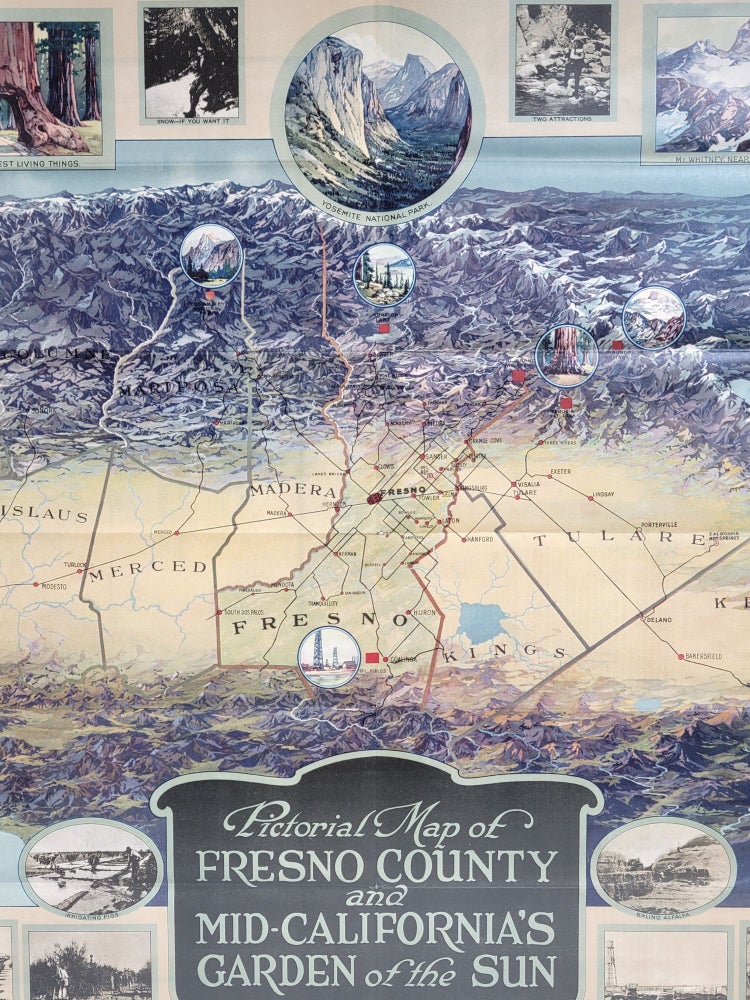
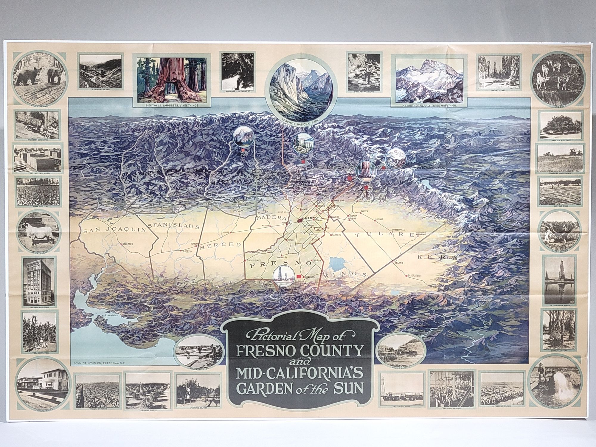
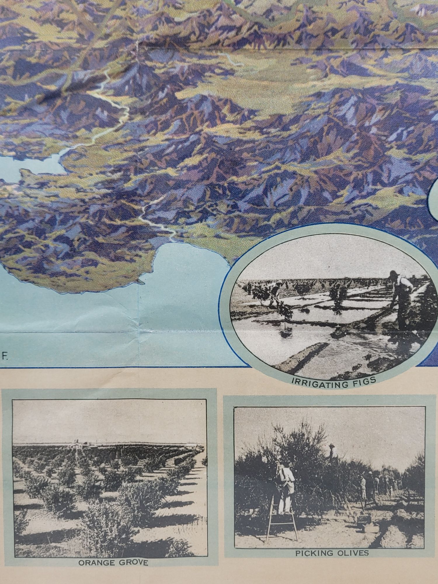
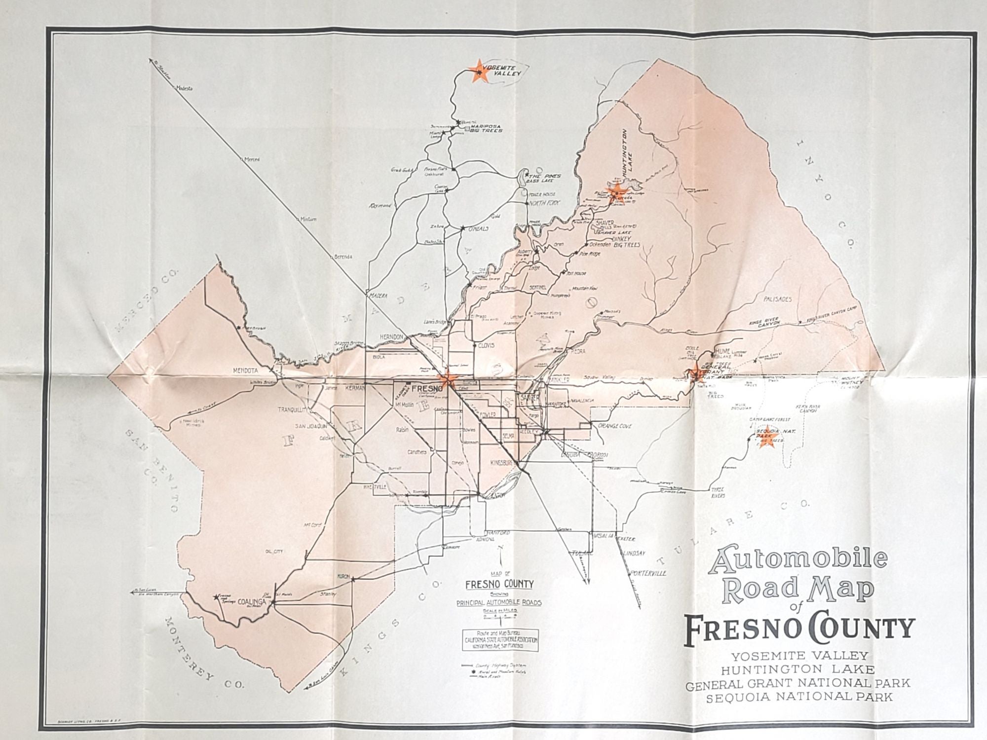
A large, colorful birds-eye map focused on Fresno County and the San Joaquin Valley in central California, but with extensive views beyond as well. The coastal range is in the fore ground and the Sierra Nevada mountains extend to the map's horizon. San Francisco and its bay are included.
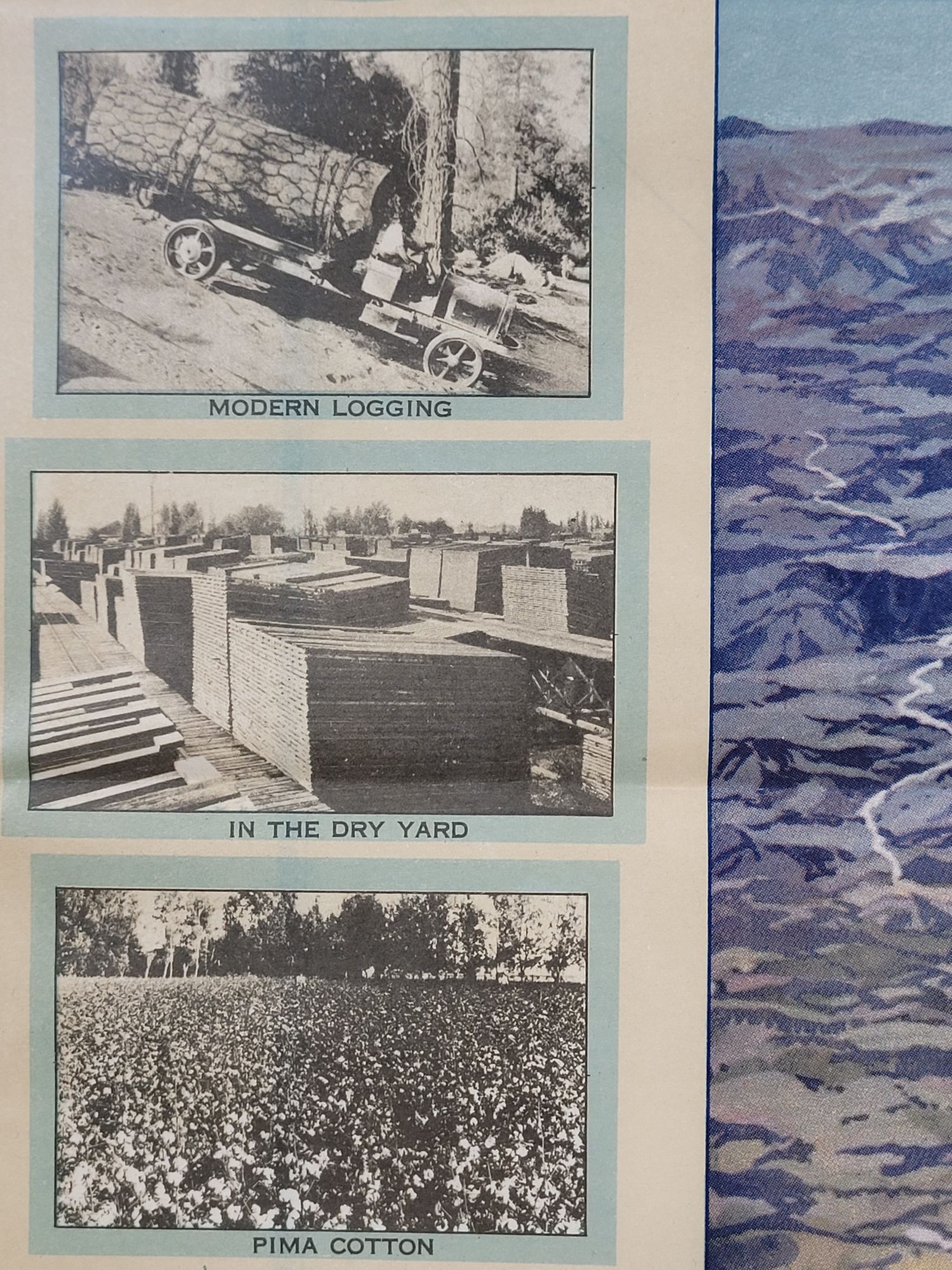
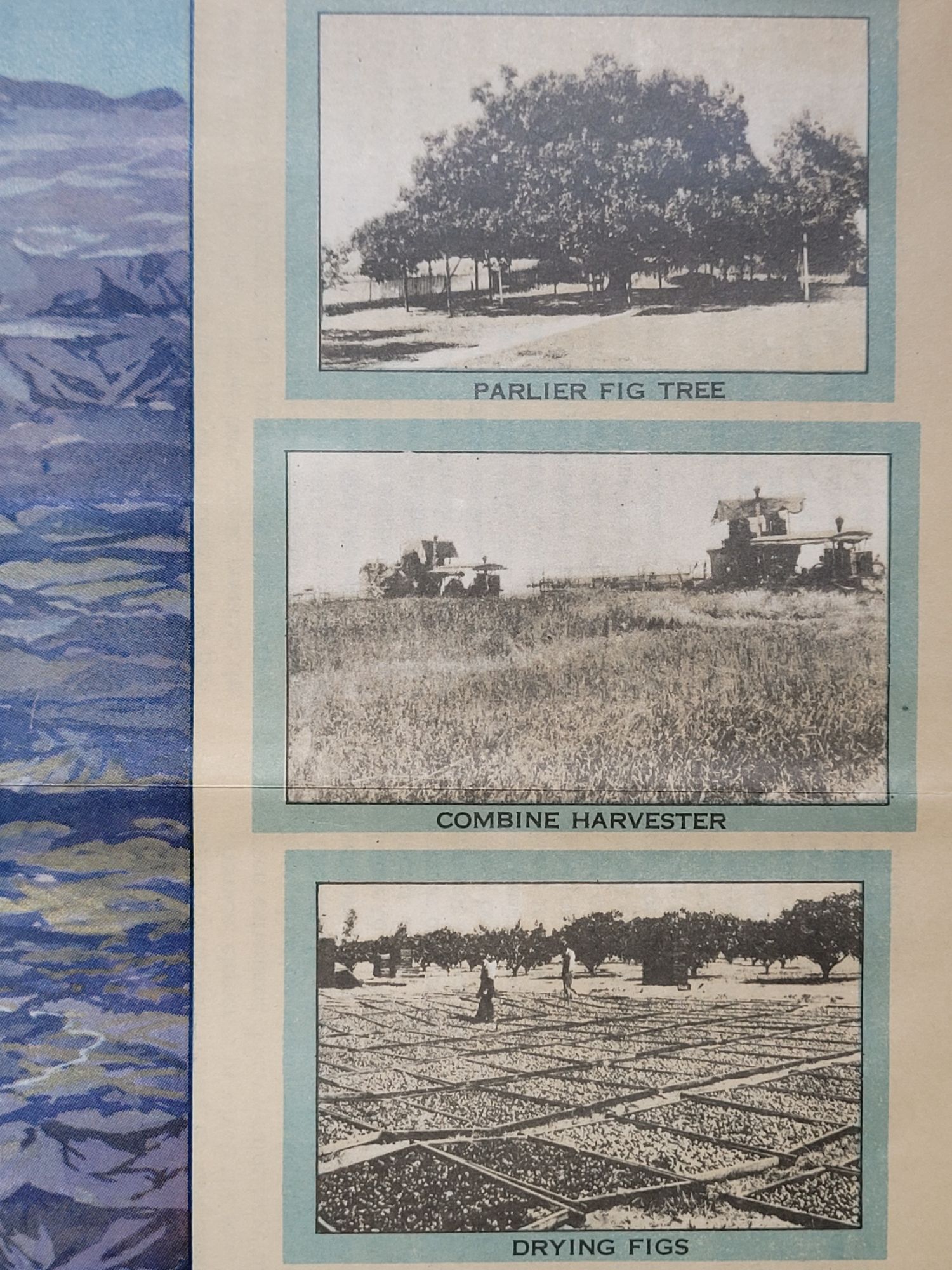
Numerous valley towns are marked, including Fresno, Sanger, Orange Cove, Parlier, Reedley, Dinuba, Hanford, Visalia, Exeter, Delano, Coalinga, Bakersfield, and more. Also marked on the map, with small color illustrations, are points of interest such as Yosemite, General Grant, and Sequoia National Parks, Mt. Whitney, the Coalinga Oil Fields, etc. In addition, some 31 photographic vignettes border the map, and primarily depict the agricultural bounty of the region.
Tulare Lake appears prominently near the center of the map in Kings County. Tulare Lake was once the largest freshwater lake west of the Great Lakes but no longer exists, it's main tributary rivers--the Kaweah, Tule, and Kings Rivers--having been harnessed for irrigation with dams in the foothills of the Sierra Nevada in the 1950s.
There is an Automobile Road Map of Fresno County along with much promotional text on the reverse side of the sheet. Folds down to brochure size with illustration on one side and printed address blank and space for 2 cent postage stamp on the other. Printed by Schmidt Litho. Co., of Fresno and San Francisco.
Very good overall, with a few short tears at fold intersections, with a few very small losses.
Item #784
Sold