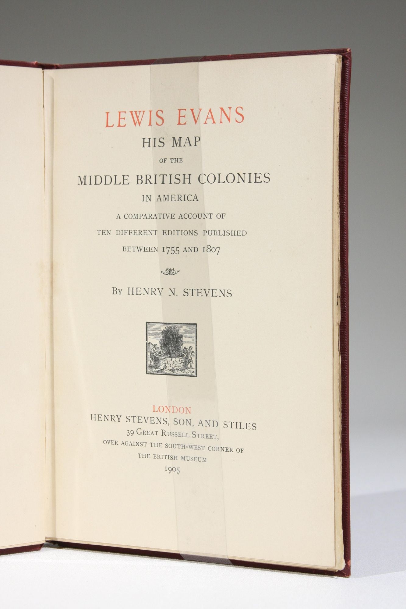
Lewis Evans, His Map of the Middle British Colonies in America: A Comparative Account of Ten Different Editions Published Between 1755 and 1807
London: Henry Stevens, Son, and Stiles, 1905. First edition. Full cloth. Octavo. viii, 41 pages.
An important analysis of ten early editions and piracies of the famous Map of the Middle British Colonies in America, by Welsh surveyor Lewis Evans (c.1700-1756). Henry Stevens, famous Americana bookseller, was prompted on his quest to compare various editions when he purchased a copy of the original Philadelphia edition of 1755.
More broad than its specific subject, this interesting and useful bibliographical reference shows various "tricks of the trade and modes of procedure of map makers in the eighteenth century." According to the Preface, only a few copies were printed for presentation and sale. Scarce in commerce.
Near fine. Bound in maroon cloth over boards with gilt-stamped spine and upper board, top edge gilt. Minor extremity rubs. Neat prior owner bookplate on preliminary blank leaf.
Item #587
Sold