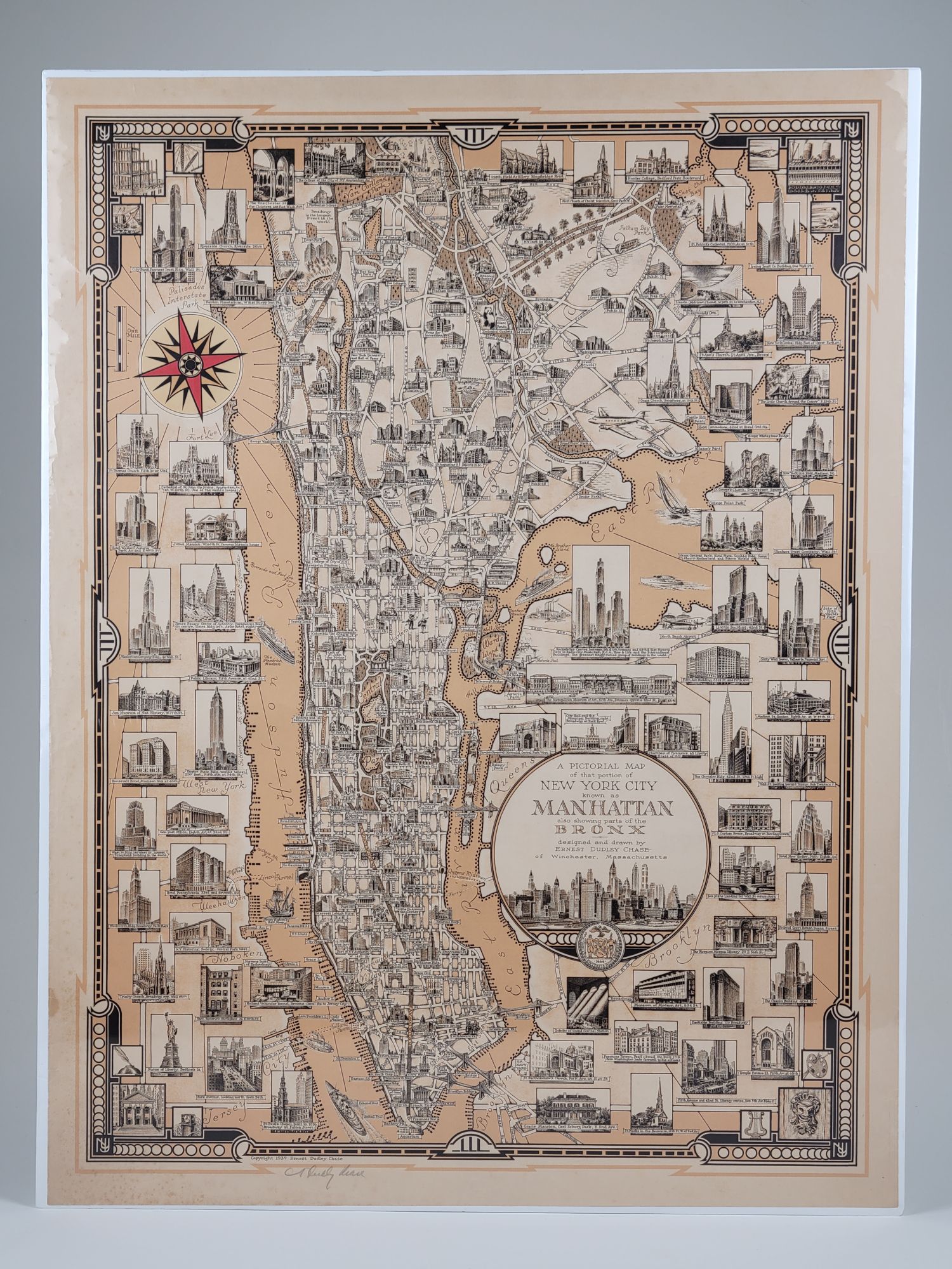
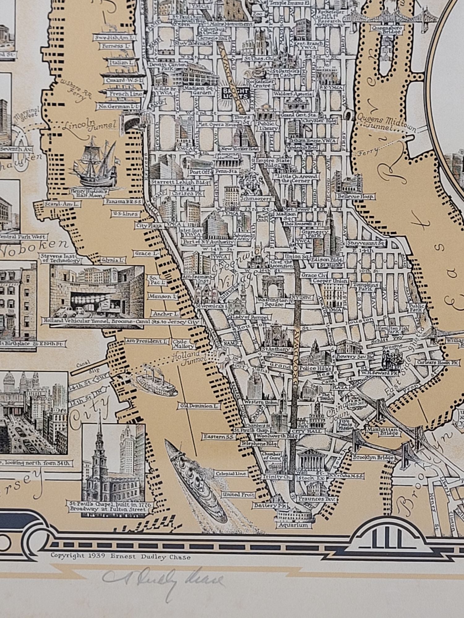
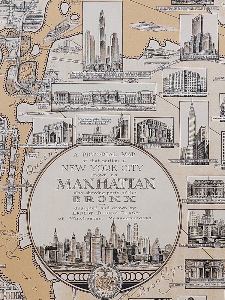
A Pictorial Map of that portion of New York City known as Manhattan, also showing parts of the Bronx
Winchester: [Privately published], 1939. Illustrated map. Single sheet. 22" x 29"
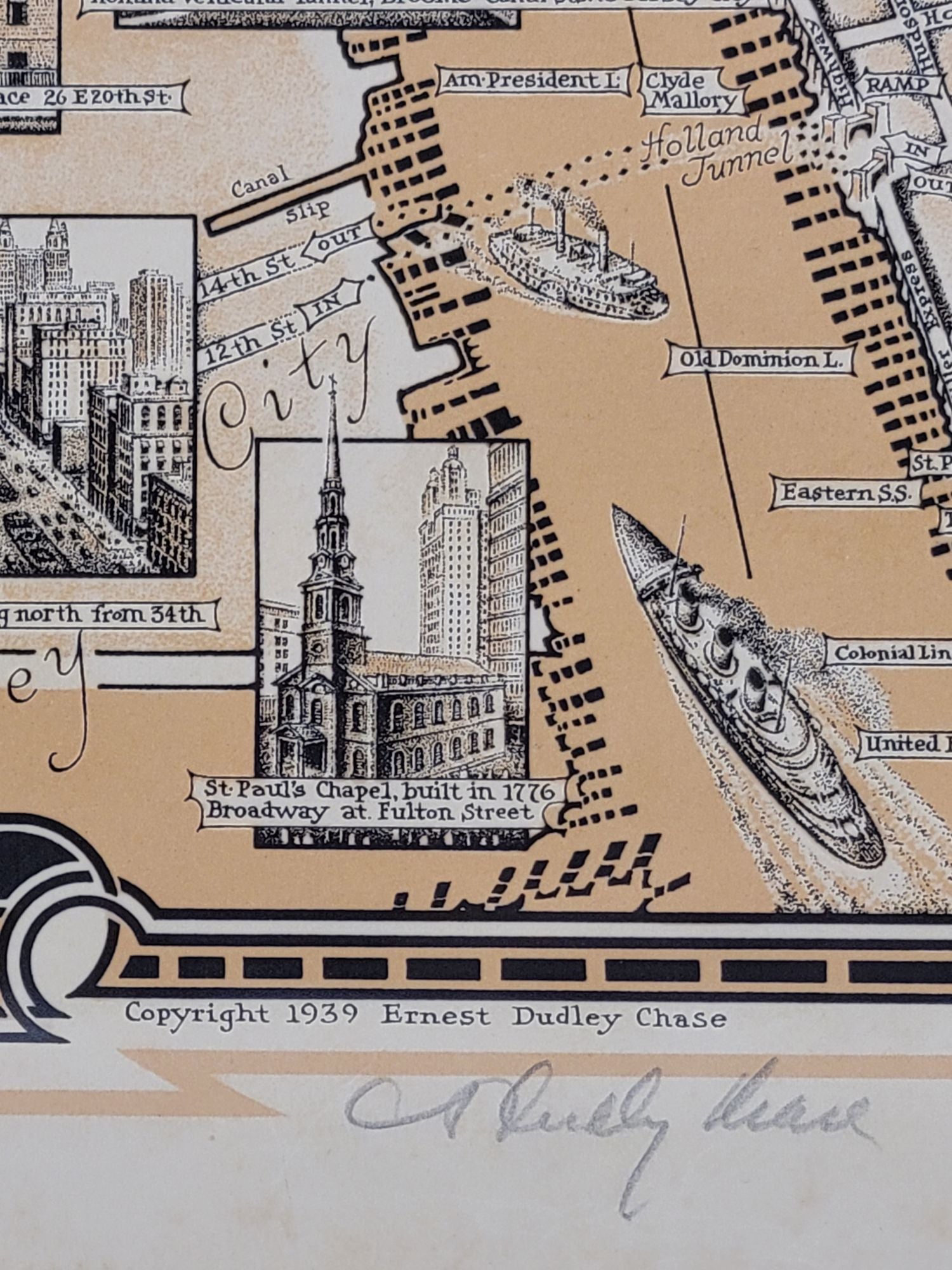
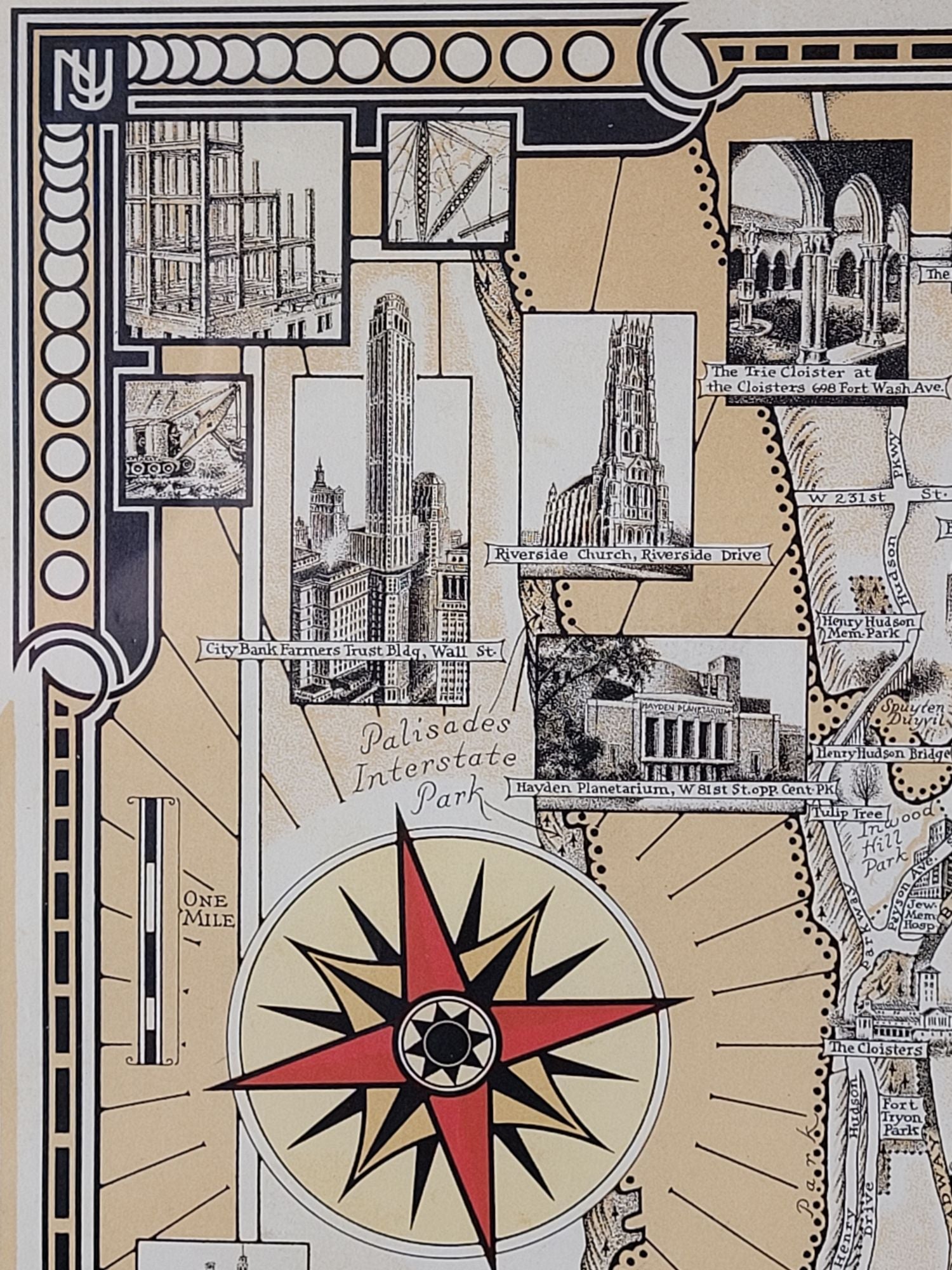
This 1939 map of New York City is a stunning piece of graphic art by Ernest Dudley Chase. Features the city's famous skyscrapers and other structures. Various ships and watercraft decorate the rivers. The city skyline and seal appear illustrate the cartouche.
Chase was an illustrator and creator of elaborately decorated pictorial maps in the early 20th century, which he privately published from his studio in Winchester, Massachusetts. One of his trademarks was to decorate his maps with vignettes of buildings and other architectural features, as seen here.
This map is signed in pencil by Chase at lower left margin beneath the copyright notice.
A few shallow edge wrinkles, some patches of minor foxing in margins, else fine.
Item #1230
Sold