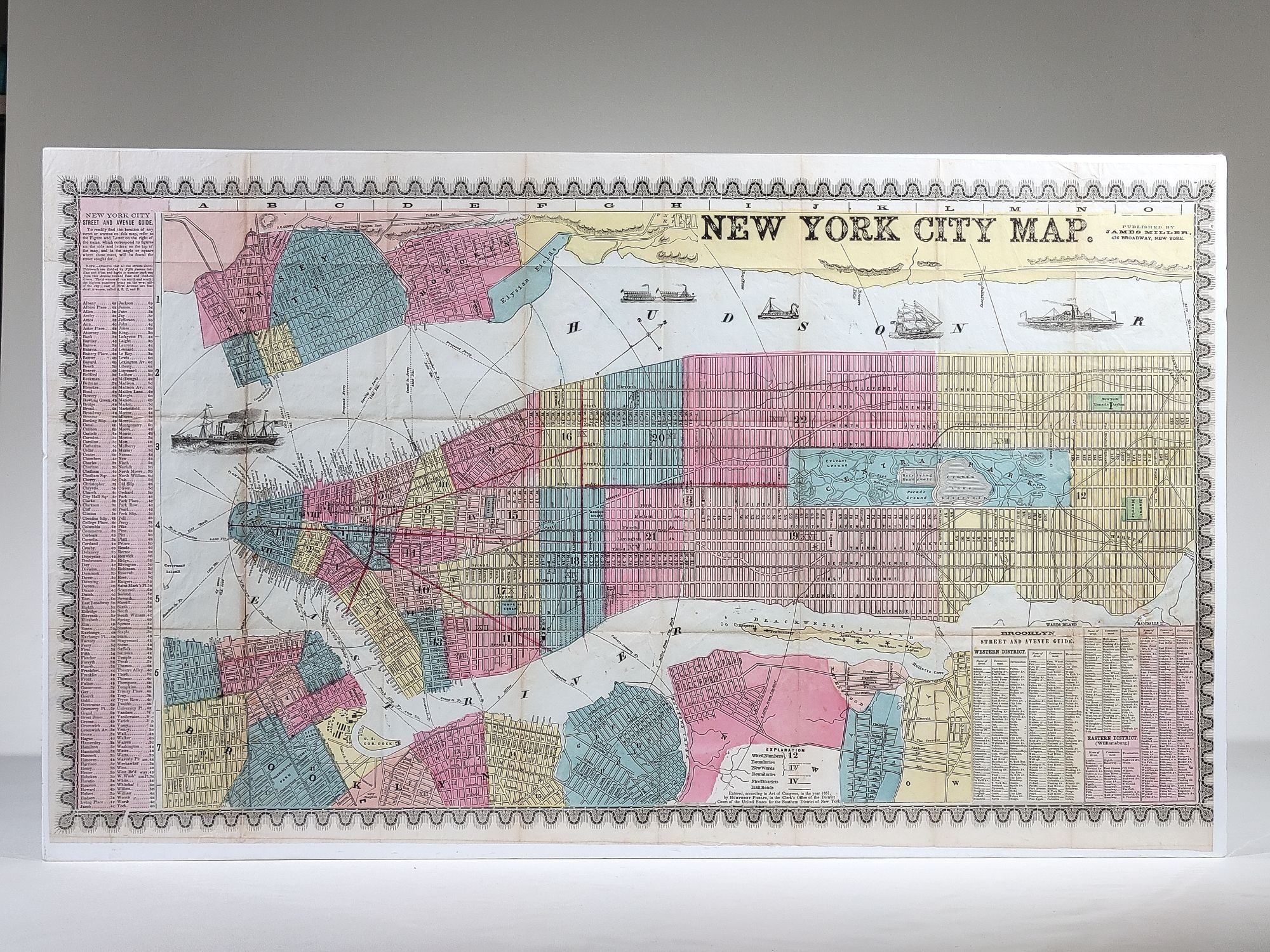
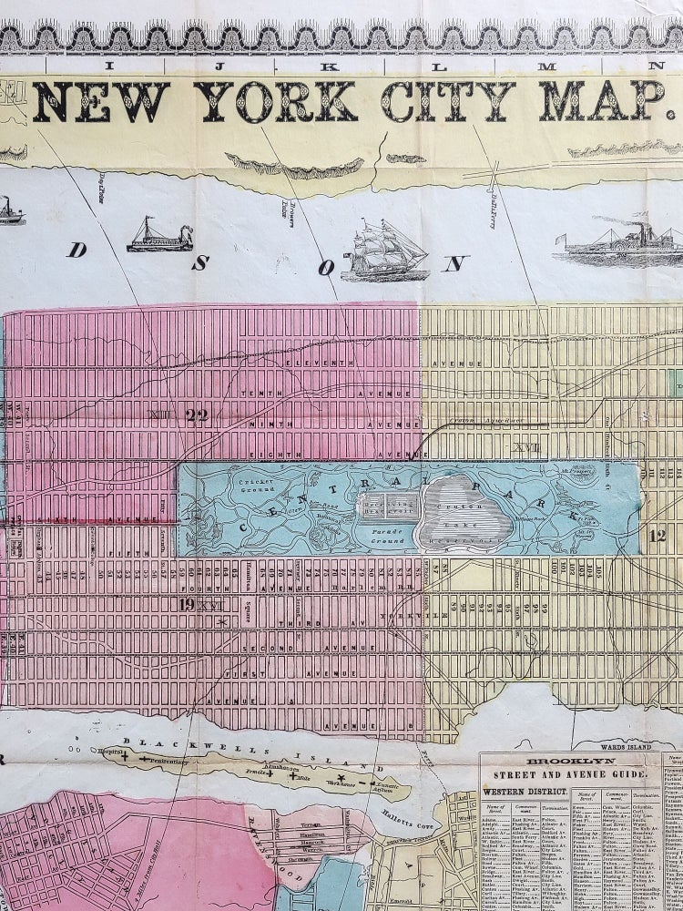
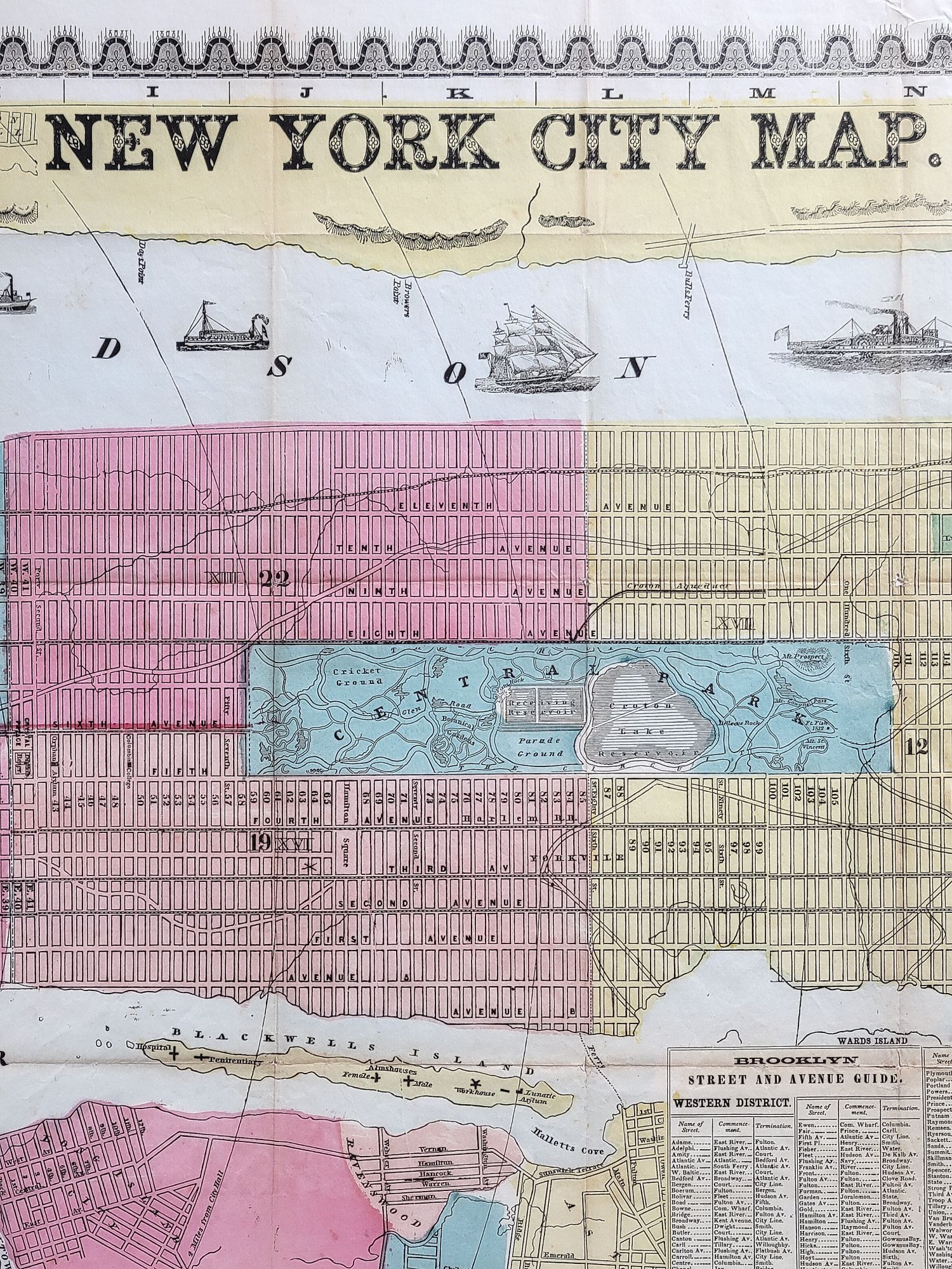
New York City Map
New York: James Miller, [1860]. Hand colored. Single sheet. Approximately 17 1/4" x 29 1/4"
Street map of New York City that was drawn by Humphrey Phelps in 1857. Wards are shaded in different colors. Also included are parts of Brooklyn, Hoboken, and Jersey City. Includes a guide to locate streets and avenues. Ferry routes are shown, and the Hudson River is decorated with woodcuts of various ships. An impressive map of New York on the eve of the Civil War.
Map has old fold creases, with a few small holes at intersections and short separations along the occasional fold. Very good overall.
Item #1166
Sold
See all items in
Americana
See all items by Humphrey Phelps