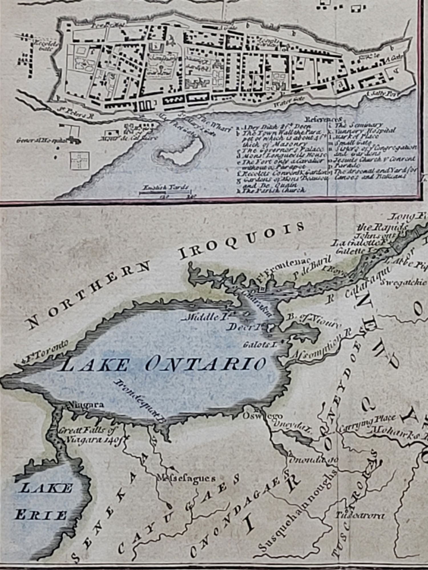
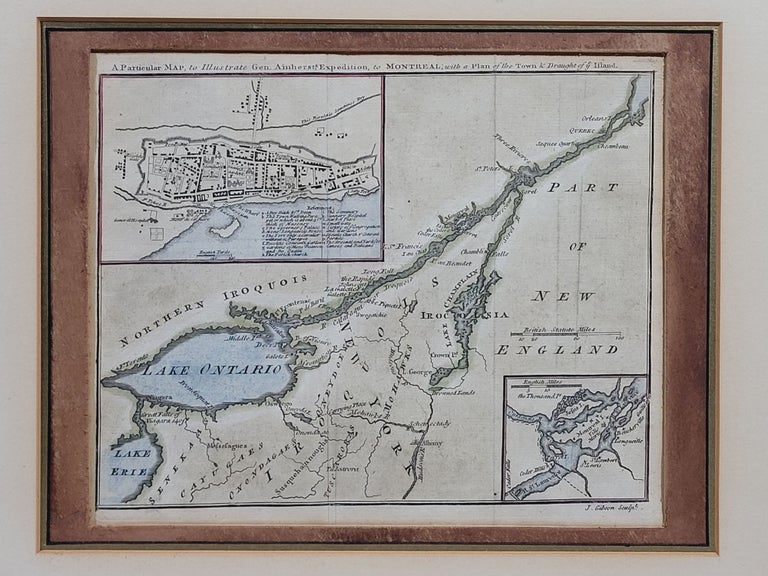
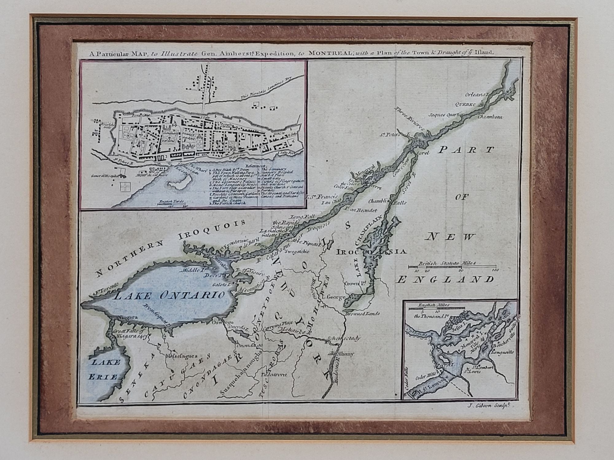
A Particular Map to Illustrate General Amherst's Expedition to Montreal; with a Plan of the Town & Draught of ye Island
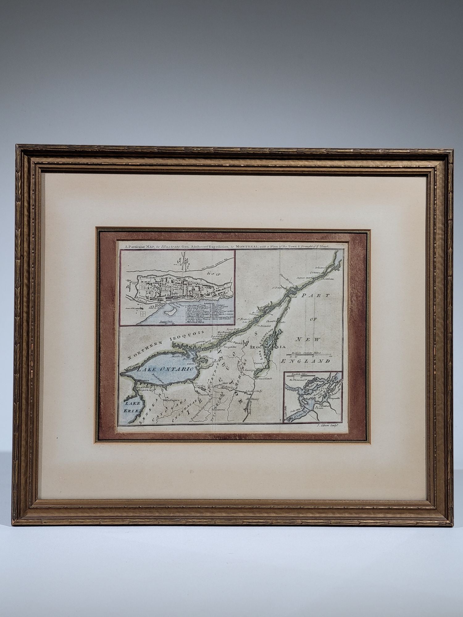
London: Gentleman's Magazine, 1760. Engraved by J. Gibson. Single sheet, framed.
An original 18th century, copper engraved map with hand coloring, illustrating the theatre of action of General Jeffrey Amherst's offensive against Montreal in 1760. The surrender of Montreal to the British on September 8, 1760 effectively completed the British capture of New France during the French and Indian War.
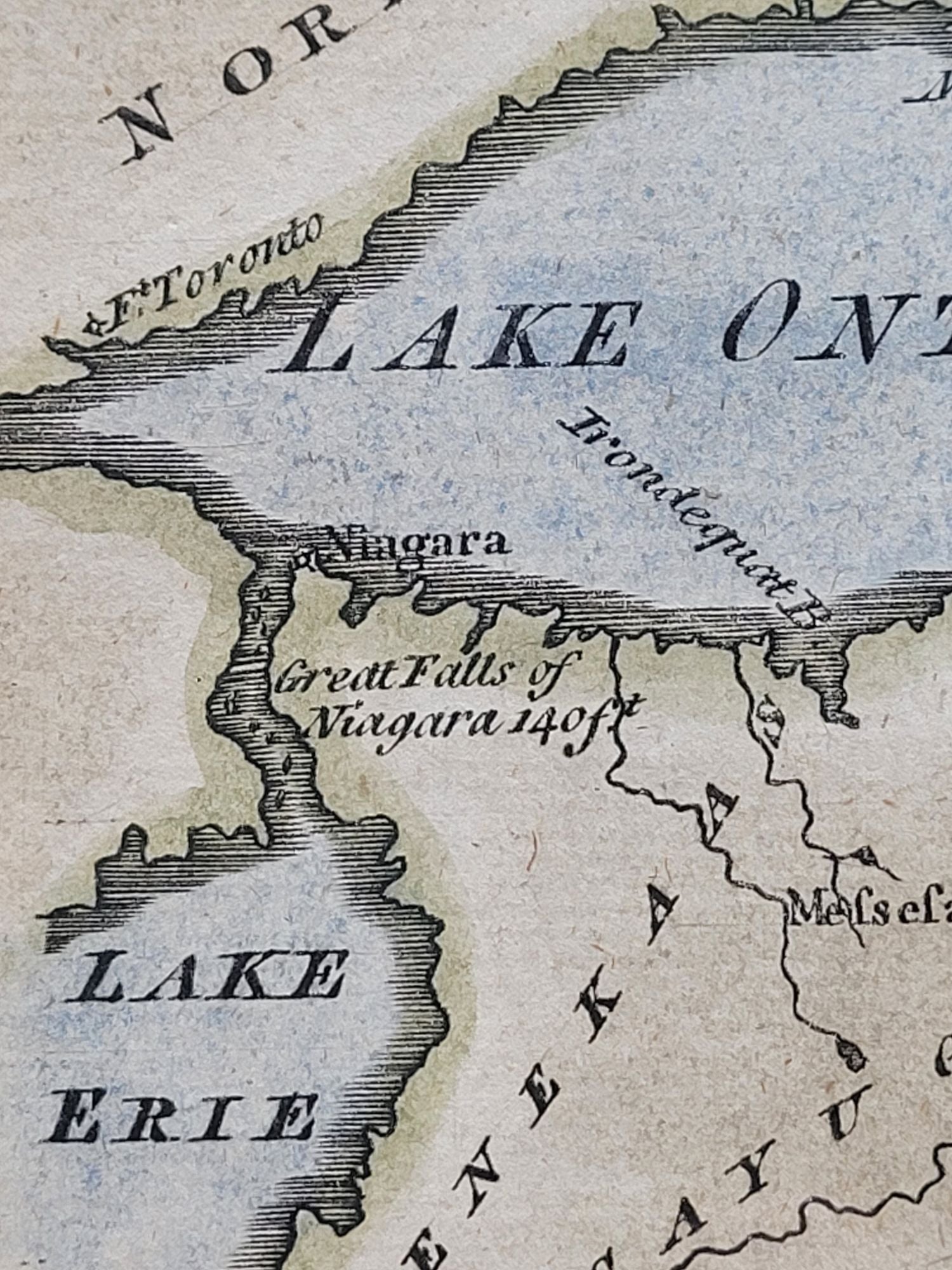
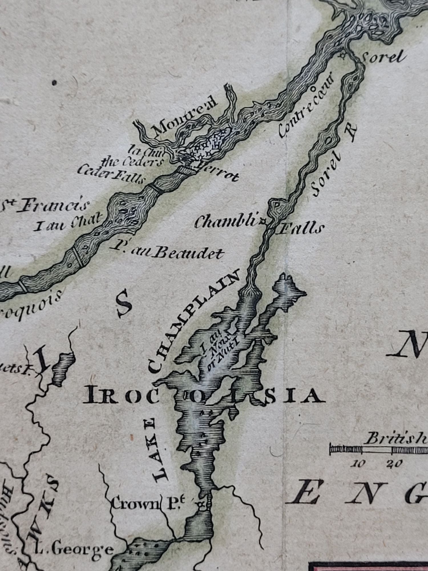
This map was published in Gentleman's Magazine and shows Lake Erie, Lake Ontario, Lake Champlain, the St. Lawrence River, and parts of New York, New England, Ontario, and Quebec. There are also insets showing more detail of the City of Montreal as well as Montreal Island. Niagara Falls is also shown. Locations of prominent Native American tribes such as Mohawks, Iroquois, Senekas, Cayugaes, and Onondagaes are marked as well.
A fine historic piece that delivered current information on the progress of the war to British citizens at home.
Fine, in attractive mat and frame. Map has original vertical fold creases and a hint of age toning. More of a pleasing patina, really. Very handsome overall.
Item #1133
Sold